LiDAR (Light Detection and Ranging) is a remote sensing technology that uses the laser pulse to acquire measurements that can be used to create 3D models and maps of objects and environments.
LiDAR technology has been around since the 1960s, when laser scanners were mounted on aircraft. It was not until the late 1980s, with the introduction of commercially viable GPS systems, that LiDAR data became a useful tool for providing accurate geospatial measurements.
How does LiDAR work?
LiDAR works similarly to radar and sonar, but uses light waves from a laser instead of radio or sound waves. A LiDAR system calculates how long it takes for light to strike an object or surface and reflect back to the scanner. The distance is then calculated using the speed of light (299,792,458 meters per second). These are called time-of-flight measurements.
LiDAR systems can return about 1,000,000 pulses per second. Each of these measurements or returns can then be processed into a 3D visualization called a "point cloud."
What is LiDAR used for?
LiDAR systems are most commonly used for surveying applications. Because of their ability to capture three-dimensional measurements, laser scanning systems are popular for surveying the built environment (such as buildings, road networks, and railroads), as well as creating digital terrain models (DTMs) and elevation models (DEMs) for specific landscapes.
Environmental applications also benefit from LiDAR - laser scanning is a popular method for assessing flood risk, carbon stocks in forestry, and monitoring coastal erosion.
LiDAR is also increasingly being used for automation applications. Many automotive manufacturers are using smaller, shorter-range LiDAR scanners to aid navigation in autonomous vehicles.
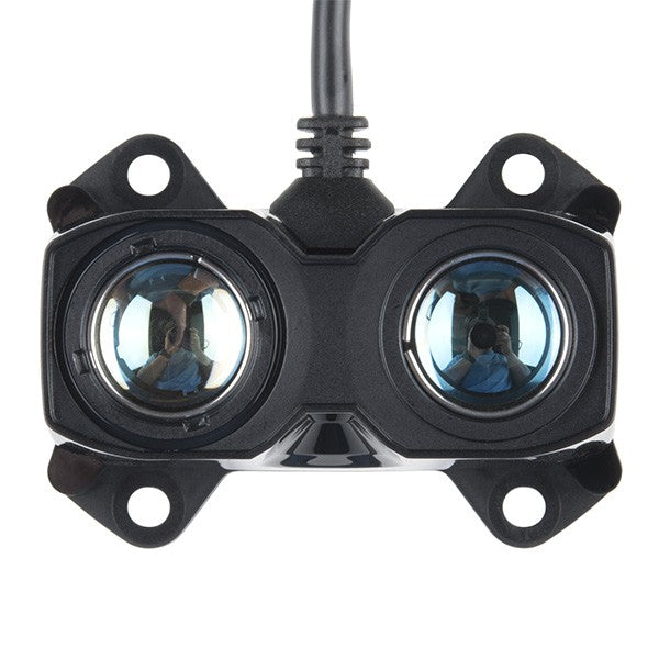
Buy LiDAR sensors
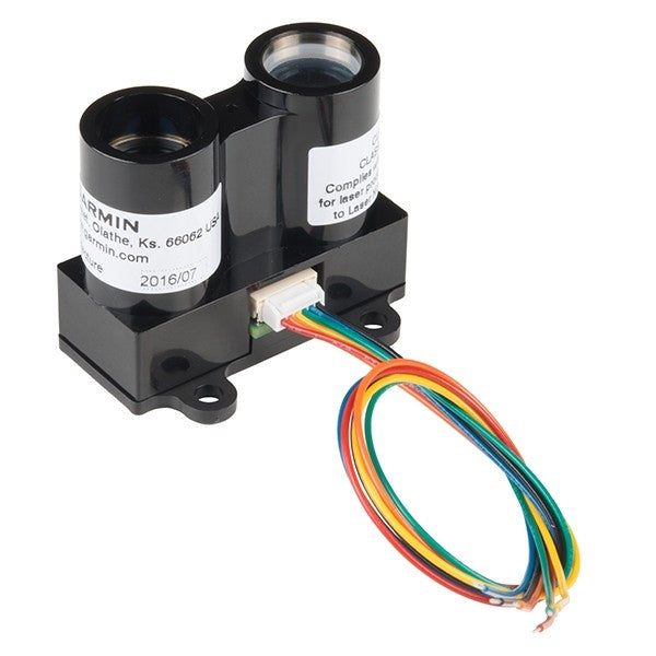
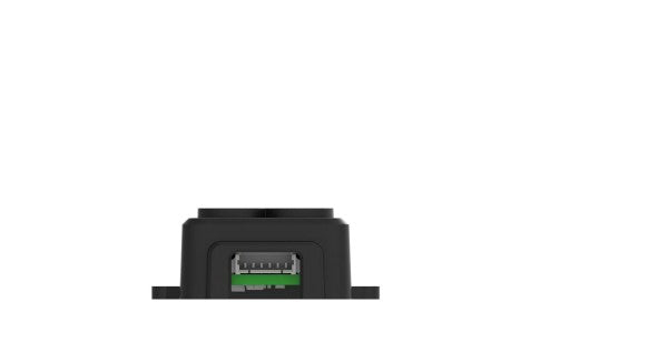
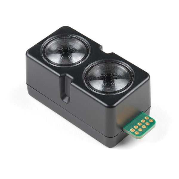
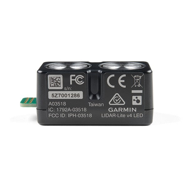
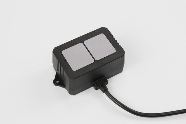
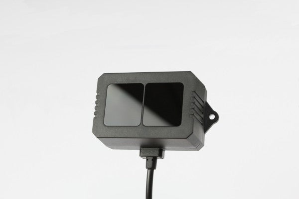
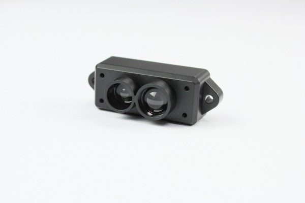
Garmin ™ has developed user-friendly LIDAR units for robotics and prototyping with the LIDAR-Lite v3 and the LIDAR-Lite v3HP!
You can find our complete LiDAR assortment here: To the assortment
Differences between LIDAR-Lite v3 and the LIDAR-Lite v3HP
| Specifications | LIDAR-Lite v3 | LIDAR-Lite v3HP |
| Refresh rate | 500 Hz | > 1kHz |
| Power consumption (idle) | 105 mA | 65 mA |
| Power consumption (operation) | 130 mA | 85 mA |
| Housing/Protection | without | IPX7 |