


Description
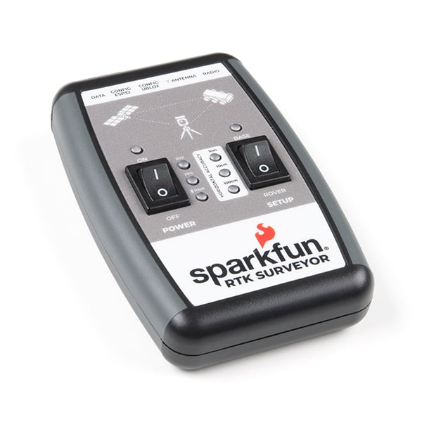
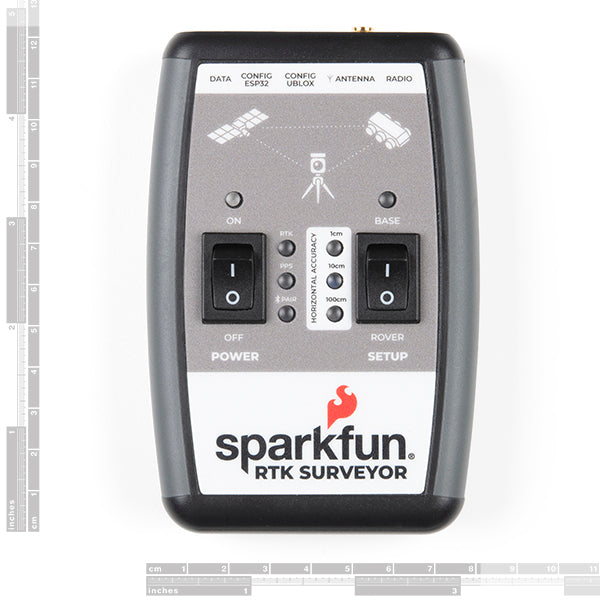
The SparkFun RTK Surveyor is an easy to use GNSS receiver for centimeter-level positioning. Perfect for surveying, this preprogrammed device can also be used for autonomous driving, navigation, asset tracking and any other application where there is a clear view of the sky. The RTK Surveyor can also be used as a base station. With the flick of a switch, two RTK Surveyors can be used to create an RTK system capable of 14mm horizontal positional accuracy. The built-in Bluetooth® connection via an ESP32 WROOM enables the user to use the RTK Surveyor with their choice of GIS application on a phone or tablet. The built in battery allows field use for up to four hours and is compatible with common USB battery banks.
The RTK Surveyor works with common GIS software including SW Maps, SurvPC, Field Genius, and any GIS software that supports NMEA over Bluetooth.
This device can be used in four modes:
The RTK Surveyor works with common GIS software including SW Maps, SurvPC, Field Genius, and any GIS software that supports NMEA over Bluetooth.
This device can be used in four modes:
- GNSS Positioning (~30cm accuracy)
- GNSS Positioning with RTK (1.4cm accuracy)
- GNSS Base Station
- GNSS Base Station NTRIP Server
Encrypted payment
Your payment information is processed securely. We do not store credit card details nor have access to your credit card information.
Additional information
Customs Tariff Number:
Country of origin:
This depends on where you are located. After the order is handed over to UPS, the delivery time in Germany is about 2-3 days, within Europe about 1 week.
We ship our orders with UPS (United Parcel Service).
If we still haven't answered your question, you can contact us below and we will get back to you as soon as possible.
You might also like
Last viewed
